
Trace Shelbyville Street Records
Address records in Shelbyville answer different questions. The assessor connects a property address to a parcel and current owner field. The Register of Deeds connects that parcel to recorded instruments. A voter result can only confirm a known person in Bedford County when all required identity fields are supplied. Historical directories may add a household clue, but their reverse sections have not been confirmed. Keep the source and date beside each finding rather than treating a street name as one complete list.
- Search the address in Tennessee Property Assessment Data, select Bedford County, and save the property address, owner, parcel ID, subdivision or lot, and latest sale book and page.
- Compare the parcel with the Bedford County Media/GIS route. Record the map date and whether a parcel touches, faces, or is separated from the street.
- Take the sale book and page to the Bedford County Register of Deeds. The official page directs researchers to a title-search service, but it does not publish a public deed-form field list or an online cutoff.
- Use the Tennessee voter lookup only to check a known person. It requires county, first name, last name, birth month, and birth year, so it cannot browse a street.
- For an older address clue, ask the Shelbyville-Bedford County Public Library or TSLA about Polk volumes, the 1879-80 catalog item, and any unlisted reverse directory shelf.
That sequence keeps ownership, map position, registration status, and historical household evidence separate. A property owner may receive mail elsewhere, and a recorded owner need not be the person using a dwelling.
Shelbyville Property Search Fields
TPAD is the strongest current online starting point for a Shelbyville by-address search. Its simple screen combines a county choice with one Search Term for an owner, property address, or parcel ID. Advanced controls make it possible to narrow a street fragment by subdivision, property classification, sale dates, or the parcel components. The portal does not provide a ZIP field, and broad street results may need a narrower term before sorting by Property Address.
| TPAD field | Input | Use for a Shelbyville address |
|---|---|---|
| County | Dropdown | Select Bedford County before a useful search. |
| Search Term | Text | Simple mode accepts an owner, property address, or parcel ID. |
| Property Address | Text | Advanced mode can take a street fragment, with number optional. |
| Subdivision Name | Text | Use the recorded subdivision when known. |
| Sale Date Start and End | Date pair | Bounds sale-history results. |
| Control Map, Group, Parcel | Text fields | Search the three Bedford parcel components independently. |
| Sort By | Dropdown | Choose owner name, property address, parcel ID, subdivision, classification, or sale date. |
A current parcel result can show owner, mailing address, property address, control map, group, parcel, subdivision, lot, class, values, building details, sketch areas, and sale history. The observed TPAD interface displayed tax year 2026 with data last updated August 30, 2026. Those dates indicate a current tax snapshot, not the start of the historical record.
Shelbyville Street Address Keys
Four labels can describe the same Shelbyville place. The situs or property address is the assessor's physical parcel location. The mailing address is where the owner receives mail and may be outside Shelbyville or a post-office box. A legal description identifies land by a lot, block, subdivision, or metes and bounds. USPS supplies the postal form and ZIP assignment. Keeping each label intact prevents an address update from being mistaken for a different parcel.
- Parcel
- A tax-map unit used by the assessor. Bedford TPAD separates it into control map, group, and parcel fields.
- Situs address
- The property location attached to the parcel, distinct from a mailing destination.
- Legal description
- The recorded land description that tests whether deeds refer to the same property when street wording changes.
- Plat
- A recorded map of lots, blocks, easements, or subdivision lines that can connect a street address to parcel geometry.
- Criss-cross directory
- An address-arranged directory. No Shelbyville reverse or criss-cross run has been confirmed, so ask the repository before relying on one.
Shelbyville planning files can also use a tax-map reference, while an older deed may use only the legal description. The legal description and map identity are the stable bridge for a split lot, a consolidated parcel, or a change in postal wording.
Shelbyville Street Records on Maps
The county assessor describes digital property lines, public rights-of-way, annexations, transfer databases, and property-line alteration records. Those layers explain why neighboring addresses can sit in different municipal or county contexts. Bedford County Media/GIS lists its office contact, and Shelbyville Planning links a separate city zoning map. The inspected county page did not expose a stable public viewer URL, layer list, parcel-identify control, buffer tool, or click behavior.
Bedford County's Media/GIS entry page is the documented county mapping route.

The entry point supports a map-context check, but it does not confirm a particular interactive parcel function. Record the visible parcel ID and map date, then confirm legal boundaries with the assessor, plat, or recorder when the result matters.
Note: A map near a street shows geography, not a complete list of people or proof that a mapped parcel is occupied.
Deeds Along a Shelbyville Street
The by-address record becomes an ownership trail when a TPAD sale row provides a book and page. At the Register, record the grantor, grantee, instrument type, recording date, consideration if shown, legal description, and reference to an earlier instrument. Search the prior owner in the next transfer and compare the legal description every time. A name alone is weak because one person can hold several parcels along the same street.
The Bedford County Register of Deeds page identifies the custodian and its title-search link.

The official page does not show public grantor, grantee, document-type, book/page, or date fields, and it does not state a web index cutoff. For older work, contact the Register at 931-684-5719, use the counter, or ask Bedford County Archives about its finding aids rather than assuming every image is online.
Shelbyville Street Permit Clues
Permit and planning files are about projects, not a household roster. County Building & Codes lists permit and inspection activity for additions, pools, porches, carports, detached garages, workshops, barns, and other work. County enforcement began in 2007, and its document center searches file names rather than addresses. A request should state the address, date range, project type, and permit number if known.
City Building Codes has its own construction and site categories. Planning applications can contain owner, developer, tax ID, street address, zoning, and adjoining-owner fields. A final inspection or certificate can date a change to a structure, but it does not establish who used the property during that period.
Shelbyville Planning and Community Development is the documented city route for site-plan and zoning material.
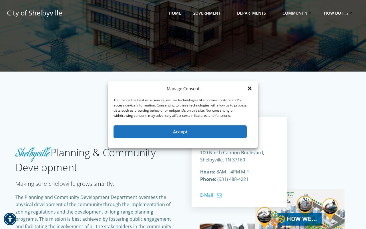
The city planning route complements county parcel data by supplying project-file context. Request only the identified file series and allow the custodian to apply any disclosure limits.
Shelbyville Street Address Record Matrix
Address-keyed sources overlap but are not interchangeable. A parcel card is current assessment data. A map explains the parcel's position. A deed records an ownership instrument. Planning and permit files can document a project. The table keeps each Shelbyville source anchored to the question it can actually answer.
| Address record | Custodian | Street-specific value | Access route |
|---|---|---|---|
| TPAD parcel card | Tennessee assessment data and Bedford assessor | Owner, situs and mailing fields, parcel identity, value, class, sale clues | Public TPAD search; assessor counter |
| County map context | Bedford Media/GIS | Parcel geometry, rights-of-way, line-change and annexation context | GIS entry route; active tools not confirmed |
| Recorded deed or plat | Bedford County Register of Deeds | Parties, instrument, book/page, legal description, parcel history | Official page, title route, recorder counter, Archives |
| Planning or site plan | Shelbyville Planning | Owner or developer, tax ID, zoning, adjoining-owner fields, project date | Applications, public packets, or focused request |
| Building or inspection file | City or County Building & Codes | Project address, applicant or owner, permit and final-inspection chronology | Office request; no public address index confirmed |
| Historic directory lead | TSLA, library, and catalogs | Potential historic name or address evidence | Repository inquiry; reverse section not confirmed |
The parcel ID, legal description, subdivision, and book/page are stronger linking keys than the street name by itself. Use more than one of them before deciding that two records concern the same Shelbyville place.
Shelbyville Street Voter Limits
The state voter lookup is a narrow identity confirmation, not a by-address browser. It asks for Bedford County, first name, last name, birth month, and birth year. The inspected public interface does not offer a street field, map view, downloadable results, or an address display. A no-match is not proof that a person has never registered, and a match does not connect that person to a specific parcel.
For an apparent mismatch, the Bedford County Election Commission is the human route. Its help listing gives the office at 100 Public Square West, basement, Shelbyville, and phone 931-684-0531. Ask the commission about a lawful request or status issue instead of attempting to reconstruct protected information from unrelated records.
Shelbyville Street Postal Checks
Postal geography is a useful interest layer, but it is not parcel identity. Shelbyville's 37160 is standard delivery. The located USPS description identifies 37161 as a unique destination associated with National Pen Company, while 37162 is PO Box service. Those three codes are not comparable neighborhood boundaries. A post-office box does not identify a dwelling, and a ZIP change does not create a new legal parcel.
Use the USPS ZIP Lookup to confirm the mailing form, then retain the assessor's situs address and the recorded legal description separately. USPS validates delivery geography; the assessor and Register answer parcel and recorded-title questions.
Historic Shelbyville Street References
The 1878 Library of Congress Bedford map includes a Shelbyville inset and business index. The 1891 Sanborn item contains five sheets. They can place a building, street context, business, or material at a point in time, but neither is a resident roll. When an older street number does not fit a modern parcel card, compare the map sheet with a plat and legal description rather than inventing a citywide renumbering date.
Bedford County's record history also includes an 1830 tornado and courthouse fires in 1863 and 1934. The WPA General Index to Deeds for 1808-1840 and the Burned Deed Index for 1852-1861 are reconstruction leads. They should be cited by publication and page, then checked against later deeds, plats, court minutes, tax material, or notices.
Shelbyville Street Directory Boundaries
A street record can show a parcel owner, mailing field, project participant, or recorded party. It cannot prove every person who uses an address. The voter tool cannot list a street. Motor-vehicle personal information is restricted by the Driver's Privacy Protection Act, and customer-level utility and delivery information are not assumed public. A parcel owner may live elsewhere, while a household member may never appear in an address-keyed public record.
Lawful use. Shelbyville street records support personal, civic, and family-history research. Do not use a parcel, map, or registration clue to stalk, harass, threaten, or trace a protected person.
If a specific county or city record is needed, submit a focused Tennessee Public Records Act request to the custodian. The law generally requires a response, denial, or time explanation within seven business days when a record is not promptly available. That rule does not promise an online file or immediate release.