
Shelbyville Neighbors by Block Source
A Shelbyville block has a property layer, a civic-file layer, and a community layer. The property layer starts with parcels. The civic-file layer can include planning applications and permits tied to a date. The community layer identifies public organizations, not private households. Use the source that matches the question, and do not turn a map or a parcel owner field into a complete account of the people nearby.
| Source | What It Shows About a Block | Access |
|---|---|---|
| County Media/GIS | Parcel geometry, map relationships, and possible zoning or district context | County GIS entry route; active viewer and tool fields were not confirmed |
| TPAD parcel card | Recorded owner, situs and mailing fields, class, values, parcel and sale clues | Public property search, one parcel at a time or narrowed by address |
| Register of Deeds | Recorded owners, plats, easements, instruments, and legal-description trail | Recorder route and counter; online cutoff not stated |
| Shelbyville Planning | Owner or developer, tax ID, zoning, adjoining-owner fields, and project date | Applications, packets, planning office, or focused request |
| Tennessee voter lookup | A known person's Bedford registration or absentee-status check | Five identity fields only; no street or map browse |
| Community directory | Participating public organizations by category, ZIP, or A-Z browsing | Public chamber/community route; no household roster |
The distinction between owner and resident is essential. TPAD may show a current owner and mailing field, while a record of use, a person at an address, or a full household list is not supplied by the parcel card. Keep the chosen adjacency rule with every result.
For a historical block question, Bedford County Archives and the Shelbyville-Bedford County Public Library supply the fallback chain after the current parcel search. The library links TSLA, Tennessee Virtual Archive, Census, Library of Congress, archives, and local newspaper resources. Ask for map sheets, directory years, obituary indexes, or microfilm by collection name. Those sources can add a dated context without converting a block map into a list of private households.
Define Shelbyville Block Geometry
Before looking at names, define what counts as a neighbor. A parcel touching a rear boundary can have a different street address. A corner lot can face two streets. An alley or public right-of-way can separate two close-looking lots. The county assessor's mapping work includes property lines, rights-of-way, city annexations, transfers, and property-line changes, which is why a drawn block and a postal block may differ.
Use the current address to locate the base parcel, then record each parcel that touches or faces it according to a stated rule. If an active viewer provides measurement, select, print, buffer, or identify controls, document the method and map date. The inspected county page did not expose those controls, so do not promise them. Confirm a disputed boundary with a plat, legal description, assessor, or recorder.
Map a Shelbyville Block Parcel by Parcel
The useful process is a source trail, not a broad name search. It begins with one known address and preserves parcel identity at each turn.
- Locate the starting address through TPAD and write down the situs address, control map, group, parcel, subdivision or lot, and current map position.
- Open the Bedford County Media/GIS route and identify parcels that touch or face the base parcel under the chosen adjacency rule.
- Run TPAD for each recorded parcel ID or address. Preserve the owner, property address, mailing distinction, and sale clues without assuming the result names every person there.
- Use a deed, plat, or planning file only where it names a party or relationship relevant to that parcel and date.
- For the full record chain along a named road, use the Shelbyville Street Directory rather than expanding a block search beyond its map rule.
Parcel geometry is the preferred local interest layer because it lets each conclusion be tested. Save the source date, parcel IDs, adjacency choice, and any physical separator shown on the map.
Shelbyville Parcel Map Layers
County GIS and city zoning are different map contexts. Bedford County Media/GIS is the documented county mapping entry. Shelbyville Planning links a city ArcGIS zoning map. The research did not confirm a common parcel viewer, a shared search field, or the layer list inside either interactive interface. A zoning layer can explain a district context but does not identify occupants or prove a parcel boundary.
Shelbyville's ArcGIS map entry is the documented city map route.
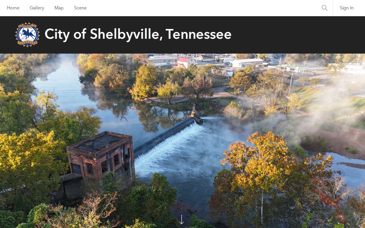
Use the city map as a planning and zoning context check. Pair it with the county parcel record and a plat when an adjoining relationship needs confirmation.
Bedford County Media/GIS provides the county-side mapping contact.
The county entry is a route to mapping assistance, not evidence that every neighbor-click, buffer, or print function is publicly available.
Shelbyville Planning Adjoining Owners
Planning material supplies a dated civic-record layer. Shelbyville site-plan applications ask for street address, owner name and address, developer, tax ID, current zoning, and adjoining owners with zoning. A planning packet can therefore connect a proposal to named adjoining owners at the time of the application. It does not establish a current community roster or a household relationship.
City Building Codes and county Building & Codes may also have project, inspection, or final records. County enforcement began in 2007 and the public document center searches file names, not addresses. Make a narrow request using an address, date range, project category, permit number when known, and the particular document sought. The Tennessee Public Records Act route goes to the holder of the file.
Shelbyville Voter Check Limits
Tennessee's public voter lookup cannot list everyone on a block. It requires county, first name, last name, birth month, and birth year. The inspected interface does not accept an address, map area, or ZIP and does not expose a public street browsing function. It can be used to confirm a known person's registration status in Bedford County, but that result is independent of a parcel owner field.
The Bedford County Election Commission, at 100 Public Square West, basement, Shelbyville, is the human contact for an apparent mismatch or a question about lawful access. The public research did not identify a current official full-file request form, cost, format, or eligible-use rule. Ask the commission rather than assuming an undisclosed block-level file is available.
Shelbyville Community Directory Layer
Shelbyville's community directory is an organization layer, not a household roster. The public directory supports category, ZIP, and A-Z browsing and includes categories such as Family, Community & Civic Organizations, and Religious Organizations. Research surfaced the City of Shelbyville, Family Life Center, First Christian Church, Moose Lodge, Shelbyville Community Gardens, Food Pantry, and New Hope Church as organizations or community resources. It did not locate member rosters or private addresses.
| Directory label | How to read it |
|---|---|
| Family, Community & Civic Organizations | Public category for participating organizations, not a block list. |
| Religious Organizations | Public organizational listing, not a membership record. |
| Category, ZIP, and A-Z browse | Ways to locate a participating organization through its public channel. |
The Shelbyville community directory is the documented public organization route.
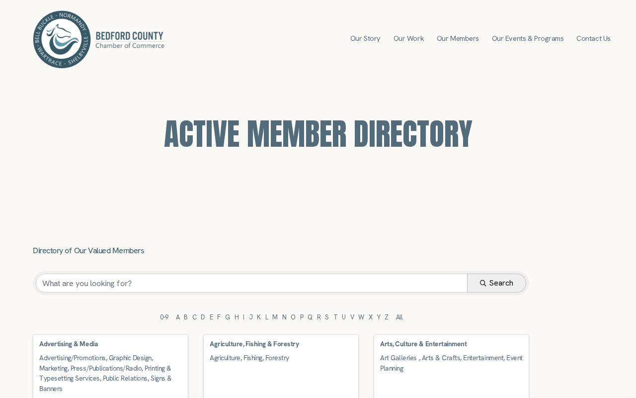
The directory can help identify an organization to contact openly. It should not be used to infer private membership, household location, or a neighborhood association that the research did not verify.
Shelbyville Block Source Comparison
Official records and commercial neighbor tools have different roles. The official path ties a fact to a custodian, a parcel, a recorded instrument, or a dated planning file. Commercial tools combine address histories, property material, marketing records, and names from varied sources. They may merge similar people, be stale, charge for a result, and lack a direct correction path with the public custodian.
| Source category | Best use | Key limit |
|---|---|---|
| Official parcel, deed, and planning records | Check a specific parcel, recorded owner, legal description, or dated project file | Each source is narrow and may require a counter or focused request |
| State voter identity check | Confirm a known person's registration status in Bedford County | No block browse, address field, or public full-file route confirmed |
| Commercial neighbor category | Understand why compiled results may differ from official records | Can be stale or merged; not a custodian source or substitute for parcel geometry |
The Tennessee Public Records Act's seven-business-day response rule is not a promise that every record is online or immediately releasable. A targeted request and the custodian's stated process are more reliable than a broad compilation.
Shelbyville Block Privacy Boundaries
Open records are limited by subject and law. A parcel card can be public while motor-vehicle data, customer-level utility information, sealed court material, juvenile files, protected addresses, and other confidential records are not. Tennessee Safe at Home offers a substitute address for qualifying participants and does not allow that substitute address to be used for property tax or recorded-real-property purposes. Do not attempt to derive a protected location from parcel, voter, or public-hearing clues.
Lawful use. Shelbyville neighbors research is for civic awareness, personal safety, and community context. Do not use parcel, planning, or organization information to stalk, harass, threaten, or identify a protected person.
For historical block context, the 1878 Bedford map and the five-sheet 1891 Sanborn map can explain streets, buildings, and physical change. Neither map is a roster. Keep a map's date and sheet number with any conclusion, and verify it with a plat or recorded description.